 北斗市
北斗市 舟越桂氏とトラピスト修道院の聖母子像
令和6年3月29日に彫刻家の舟越桂さんが亡くなった。トラピスト修道院の聖母子像は、船越桂さんが大学院生の時に制作したものである。僕が木彫をやるきっかけとなった作品です。クスノキを用いた2メートル以上もある作品で、彫刻家としてやっていくという...
北斗市  資料集
資料集  函館市
函館市  北斗市
北斗市 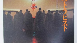 資料集
資料集  資料集
資料集  函館市
函館市  函館市
函館市  函館市
函館市 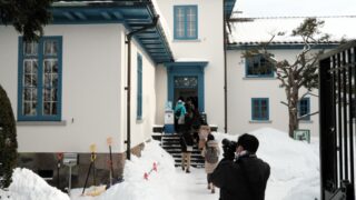 函館市
函館市